
Hi. I’m Felipe.
I build geospatial solutions.
From maps to artificial intelligence, I create practical and reliable solutions for geospatial challenges using Python, open-source GIS, remote sensing, data pipelines and modern web technologies.
Maps, data and automation working together.
Custom tools for people and companies that need better geospatial workflows.
About me
Freelance GIS, Remote Sensing, WebGIS and Geospatial AI Specialist
I am a GIS and Remote Sensing specialist with experience in Python, WebGIS and AI for geospatial data. Since 2018, I have worked with different clients, from companies to individuals, supporting projects involving spatial analysis, websites, product research and scientific studies. I work mainly with open-source tools, Linux, Python and JavaScript, and I enjoy creating practical geospatial applications that solve real problems.
What I do
Geospatial services for different types of projects
Because of my experience as a freelancer, I can support different demands involving maps, spatial data, automation, remote sensing and web applications.
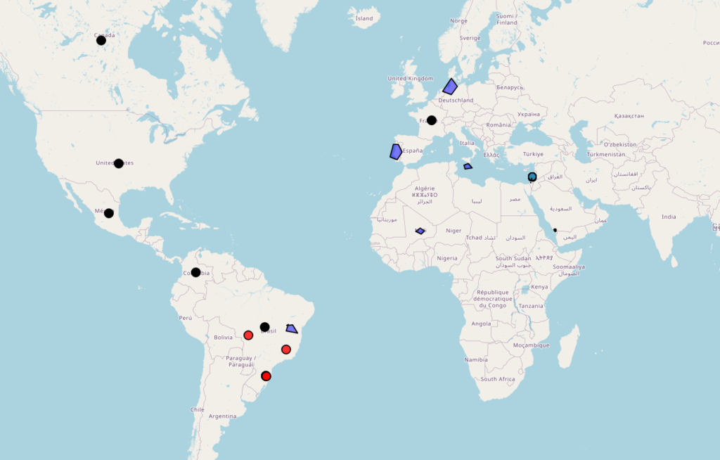
WebGIS
Custom WebGIS platforms for visualization, styling, editing and sharing geospatial data.
Learn more →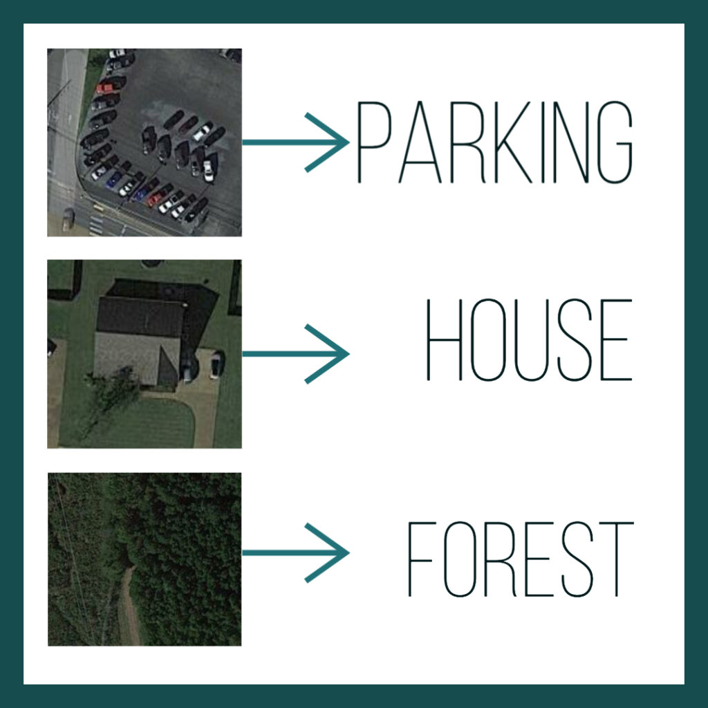
AI Models
Semantic segmentation, change detection, object detection and applied AI for imagery.
Learn more →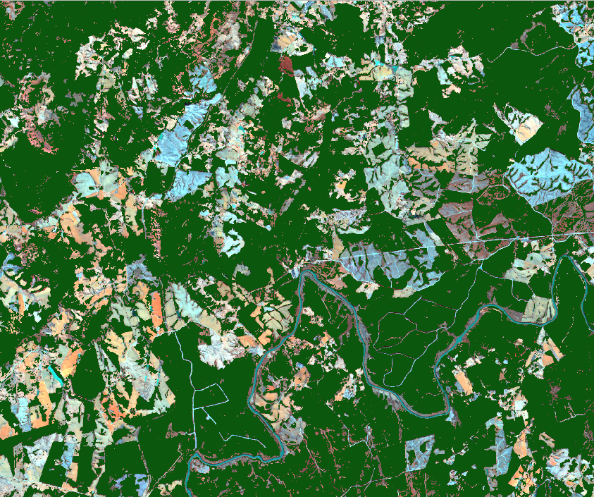
GIS & Remote Sensing
Spatial analysis, satellite image processing, automation and geospatial workflows.
Learn more →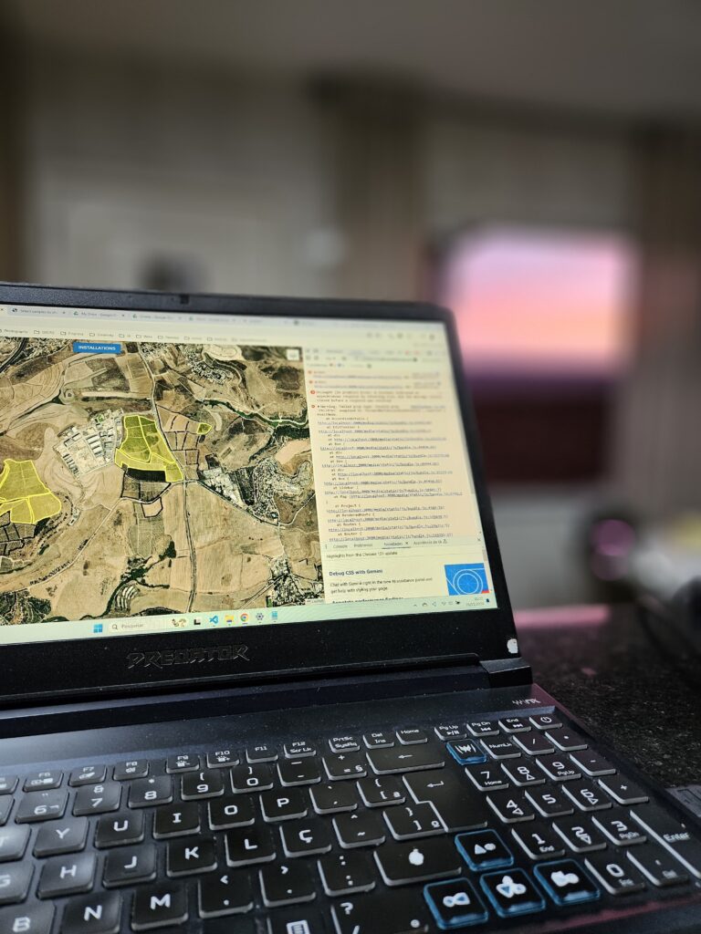
Full Stack Development
Web applications using Python, JavaScript, databases, APIs and cloud deployment.
Learn more →Featured WebGIS projects
Two generations of my WebGIS work
These projects show the evolution of my WebGIS work, from the first complete platform to a newer and more modern version focused on better architecture, usability and scalability.
WebGIS Project
My earlier WebGIS platform, built to bring desktop GIS-style visualization, styling and geospatial interaction to the web.
Open old WebGIS →New WebGIS
A newer WebGIS version focused on modern open-source technologies, cleaner UX and a more flexible foundation for geospatial tools.
Open new WebGIS →My clients
Some clients from the past few years
Companies and teams I have supported with geospatial analysis, WebGIS, automation and data solutions.



Let’s work together
Have a project in mind or need help with geospatial solutions? Feel free to reach out and let’s build something useful together.
Get in touch